- Address:
326, Chemin de la Verrerie, 83600 Les Adrets de l’Esterel, France
- GPS coordinates :
Lattitude : 43° 31’ 34’ NORTH
Longitude : 6° 50’ 16’ EAST
- From the A8 motorway
Exit number 39 (Les Adrets - Fayence - Lac de St Cassien). The village is 5km driving distance from the motorway’s exit N°39
- From National Road N°7 – also called N7 or DN7:
From Fréjus or St raphaël – N7 in the direction of Cannes - Nice
From Mandelieu or Cannes – N7 direction Fréjus
- By train:
Saint Raphaël – Valescure
- Par plane:
Nice Airport, 44 km, in the direction of Nice.
Hyères Airport, 100 km, in the direction of Toulon






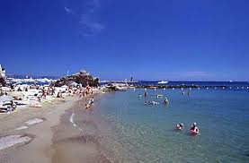
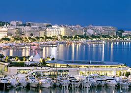 15 mins drive from Cannes & la Croisette...
 Calculate your itinerary with Mappy